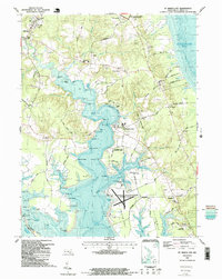
1987 Map of St. Marys City
USGS Topo · Published 1987About this map
St Marys City and its colonial legacy define this portion of the Potomac River tidewater in the late 1980s. The map illustrates a landscape where history and modern maritime life converge, featuring St Marys City Historic Park alongside the campus of St Marys College. The intricate shoreline of the St Marys River is marked by numerous family-named landmarks such as Tippity Wichity I and Rose Croft Pt, while the southern peninsula is occupied by the U S Naval Reservation (Webster Field) at St Inigoes Neck. Traditional settlement patterns are visible in the clusters at Park Hall, Beachville, and St Inigoes, where St Inigoes Ch and Cross Manor Rd point to deep roots in Maryland's earliest established territory.
Find a feature on this map
120 named features on this map. Tap any name to fly to it.
Don’t see what you’re looking for? This feature index may not catch every label — zoom into the map to look around manually.
Map Details
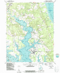
Editions of this 1987 St. Marys City Map
2 editions found
Other maps of this area

1892 · Leonardtown
USGS Topo · 1:62,500

1892 · Drum Point
USGS Topo · 1:62,500

1892 · Piney Point
USGS Topo · 1:62,500

1894 · Piney Point
USGS Topo · 1:62,500

1894 · Point Lookout
USGS Topo · 1:62,500

1895 · Leonardtown
USGS Topo · 1:62,500

1895 · Nomini
USGS Topo · 1:125,000

1895 · Piney Point
USGS Topo · 1:62,500

1898 · Nomini
USGS Topo · 1:125,000

1898 · St. Marys
USGS Topo · 1:125,000