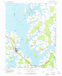
1942 Map of St. Michaels
USGS Topo · Published 1977About this map
St Michaels serves as the focal point of this maritime landscape along the Chesapeake's Eastern Shore. The town's layout is centered around its harbor at Navy Pt and Parrott Pt, while the Baltimore and Eastern railroad provides a critical land-based link to the interior. The surrounding waters of the Miles River and Hunting Creek define a highly articulated shoreline of deep coves and points, including Wye Island to the north and the peninsula of Church Neck Point to the south. Small inland settlements like Unionville, Copperville, and Tunis Mills are connected by a network of roads and the rail line, showing the early 1940s balance between traditional water-dependent industry and growing land transportation. Researchers can find specific landmarks such as St Stevens Ch and various family-named points like Bordley Point and Hopkins Point.
Find a feature on this map
50 named features on this map. Tap any name to fly to it.
Don’t see what you’re looking for? This feature index may not catch every label — zoom into the map to look around manually.
Map Details
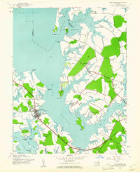
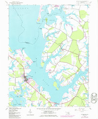
Editions of this 1942 St. Michaels Map
3 editions found
Other maps of this area

1892 · Annapolis
USGS Topo · 1:62,500

1893 · Sharps Island
USGS Topo · 1:62,500

1898 · Choptank
USGS Topo · 1:125,000

1904 · St. Michaels
USGS Topo · 1:62,500

1904 · Annapolis
USGS Topo · 1:62,500

1904 · Sharps Island
USGS Topo · 1:62,500

1904 · Oxford
USGS Topo · 1:62,500

1908 · Choptank
USGS Topo · 1:125,000

1942 · Tilghman
USGS Topo · 1:31,680

1942 · Oxford
USGS Topo · 1:31,680