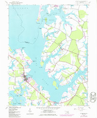
1942 Map of St. Michaels
USGS Topo · Published 1986About this map
The maritime heart of Talbot County is defined by the intricate fingers of the Miles River and Broad Creek as they branch toward Eastern Bay. This 1942 survey, updated with mid-1980s data, illustrates the deeply indented shoreline where the village of St Michaels serves as a central hub between San Domingo Creek and the river. The map documents the legacy of transportation in the region, tracing the Old Railroad Grade that once connected these waterfront communities.
Find a feature on this map
53 named features on this map. Tap any name to fly to it.
Don’t see what you’re looking for? This feature index may not catch every label — zoom into the map to look around manually.
Map Details
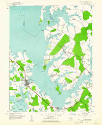
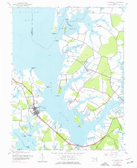
Editions of this 1942 St. Michaels Map
3 editions found
Other maps of this area

1892 · Annapolis
USGS Topo · 1:62,500

1893 · Sharps Island
USGS Topo · 1:62,500

1898 · Choptank
USGS Topo · 1:125,000

1904 · St. Michaels
USGS Topo · 1:62,500

1904 · Annapolis
USGS Topo · 1:62,500

1904 · Sharps Island
USGS Topo · 1:62,500

1904 · Oxford
USGS Topo · 1:62,500

1908 · Choptank
USGS Topo · 1:125,000

1942 · Tilghman
USGS Topo · 1:31,680

1942 · Oxford
USGS Topo · 1:31,680