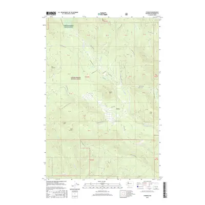
2017 Map of Stabler
USGS Topo · Published 2017About this map
The Carson National Fish Hatchery anchors the northern portion of this landscape, situated near the headwaters of the Wind River. This 2017 survey reveals the intricate topography of the Gifford Pinchot National Forest, where the settlement of Stabler serves as a small hub for the surrounding timberlands. The map highlights a complex network of forest roads, such as Bear Mountain Rd and Hollis Creek Rd, which provide access to notable peaks including Trout Creek Hill and Bunker Hill.
Find a feature on this map
65 named features on this map. Tap any name to fly to it.
Don’t see what you’re looking for? This feature index may not catch every label — zoom into the map to look around manually.
Map Details
Editions of this 2017 Stabler Map
This is the sole edition of this map. No revisions or reprints were ever made.
Other maps of this area

1926 · Hood River
USGS Topo · 1:125,000

1929 · Hood River
USGS Topo · 1:125,000

1940 · Lookout Mtn
USGS Topo · 1:62,500

1948 · Vancouver
USGS Topo · 1:250,000

1950 · Vancouver
USGS Topo · 1:250,000

1950 · Vancouver
USGS Topo · 1:250,000

1953 · Lookout Mtn
USGS Topo · 1:62,500

1953 · The Dalles
USGS Topo · 1:250,000

1954 · Bridal Veil
USGS Topo · 1:62,500

1956 · The Dalles
USGS Topo · 1:250,000