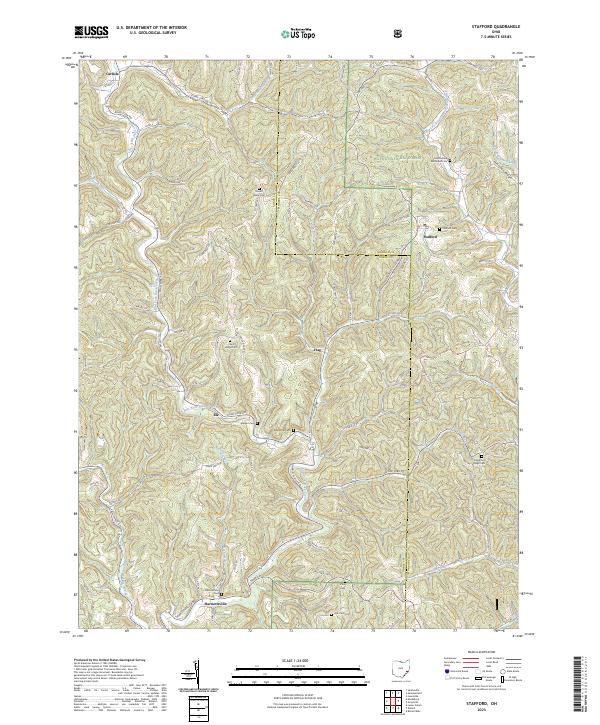
2023 Map of Stafford
USGS Topo · Published 2023About this map
Stafford and Harriettsville serve as central points in this portion of Southeast Ohio, where the drainage divide between the Muskingum and Ohio River watersheds shapes the landscape. The territory is defined by the sharp ridges and deep hollows of the Wayne National Forest, with numerous family and community burial grounds like Mount Tabor Cem and Crum Ridge Cem marking the high ground. The intricate network of waterways, including East Fork Duck Creek and the Clear Fork Little Muskingum River, once dictated the placement of small hamlets such as Elk and Flag.
Find a feature on this map
51 named features on this map. Tap any name to fly to it.
Don’t see what you’re looking for? This feature index may not catch every label — zoom into the map to look around manually.
Map Details
Editions of this 2023 Stafford Map
This is the sole edition of this map. No revisions or reprints were ever made.
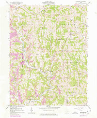
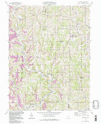
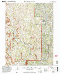
Historical Maps of Flag Through Time
4 maps found