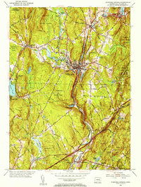
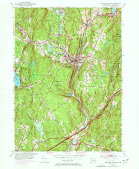
1952 Map of Stafford Springs
USGS Topo · Published 1955About this map
Stafford Springs serves as the industrial and transit hub of this northeast Connecticut landscape, where the Central Vermont Railroad follows the winding path of the Middle River through a valley of granite and hardwood. The mid-century settlement pattern reveals a cluster of mill-era villages including Stafford, Hydeville, and Staffordville, many established near water sources like Staffordville Res and Riverside Pond.
Find a feature on this map
80 named features on this map. Tap any name to fly to it.
Don’t see what you’re looking for? This feature index may not catch every label — zoom into the map to look around manually.
Map Details
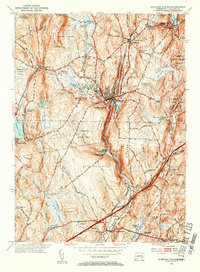
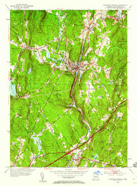
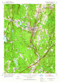
Editions of this 1952 Stafford Springs Map
5 editions found
Other maps of this area

1887 · Brookfield
USGS Topo · 1:62,500

1887 · Palmer
USGS Topo · 1:62,500

1889 · Palmer
USGS Topo · 1:62,500

1890 · Brookfield
USGS Topo · 1:62,500

1892 · Woodstock
USGS Topo · 1:62,500

1892 · Tolland
USGS Topo · 1:62,500

1893 · Palmer
USGS Topo · 1:62,500

1893 · Brookfield
USGS Topo · 1:62,500

1908 · Ware
USGS Topo · 1:125,000

1915 · Brookfield
USGS Topo · 1:62,500