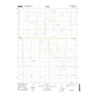
2016 Map of Stafford SW
USGS Topo · Published 2016About this map
Rose Valley Cem sits in the northwest corner of this rural expanse, a quiet landmark within a landscape defined by the Public Land Survey System. The boundary between Stafford Co and Pratt Co bisects the area, where the terrain transitions from the high plains into the drainage basin of the N Fork Ninnescah River. This watercourse winds through the central portion of the map, carving a subtle path through the agricultural grid. The region is heavily patterned by section-line roads such as Midwest Rd and Midwest Ave, reflecting a late-twentieth and early-twenty-first-century reliance on a structured transportation network for local transit and farm-to-market access.
Find a feature on this map
37 named features on this map. Tap any name to fly to it.
Don’t see what you’re looking for? This feature index may not catch every label — zoom into the map to look around manually.
Map Details
Editions of this 2016 Stafford SW Map
This is the sole edition of this map. No revisions or reprints were ever made.
Other maps of this area

1892 · Pratt
USGS Topo · 1:125,000

1894 · Pratt
USGS Topo · 1:125,000

1955 · Pratt
USGS Topo · 1:250,000

1959 · Pratt
USGS Topo · 1:250,000

1967 · Cairo
USGS Topo · 1:24,000

1968 · Pratt
USGS Topo · 1:24,000

1968 · Coats NE
USGS Topo · 1:24,000
1971 · Preston
USGS Topo · 1:24,000

1971 · Stafford
USGS Topo · 1:24,000
1971 · Byers
USGS Topo · 1:24,000