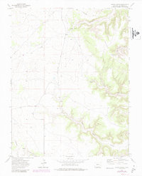
1972 Map of Stage Canyon
USGS Topo · Published 1985About this map
Red Rock Road cuts through this landscape of deep drainages and isolated peaks in Las Animas County. The terrain is defined by the Black Hills and the prominent height of Sugarloaf, where a primitive Jeep Trail and Trail provide access to Sugarloaf Spring. The complex drainage system is mapped in detail, showing how Stage Canyon and Horse Canyon feed into the broader basin. In the southern portion of the quadrangle, the winding path of Red Rock Canyon and Lockwood Arroyo reveal a land shaped by intermittent water flow, with several unnamed Springs marking the transition between the high cedar-covered hills and the canyon floors. A utility Pipeline traverses the western reaches, providing a rare modern linear marker across the otherwise irregular topographical features of Welsh Canyon and Cedar Hill.
Find a feature on this map
18 named features on this map. Tap any name to fly to it.
Don’t see what you’re looking for? This feature index may not catch every label — zoom into the map to look around manually.
Map Details
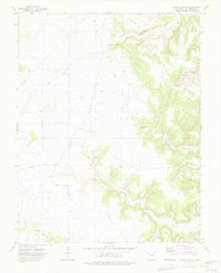
Editions of this 1972 Stage Canyon Map
2 editions found
Other maps of this area

1891 · Timpas
USGS Topo · 1:125,000

1891 · Mesa De Maya
USGS Topo · 1:125,000

1893 · Mesa de Maya
USGS Topo · 1:125,000

1894 · Timpas
USGS Topo · 1:125,000

1955 · La Junta
USGS Topo · 1:250,000

1958 · La Junta
USGS Topo · 1:250,000

1968 · La Junta
USGS Topo · 1:250,000

1972 · Johnson Canyon
USGS Topo · 1:24,000

1972 · Doss Canyon North
USGS Topo · 1:24,000

1972 · Packers Gap
USGS Topo · 1:24,000