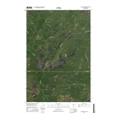
2017 Map of Stagman Butte
USGS Topo · Published 2017About this map
Stagman Butte rises above a landscape defined by the convergence of several major drainage systems on the border of Yakima and Klickitat counties. This 2017 survey details the complex network of high-elevation creeks, including the N Fork Logy Cr and S Fork Logy Cr, which carve through the terrain near Castle Rock. To the south, the slopes of Simcoe Mtn dominate the topography, with Satus Cr and Butler Cr flowing through the southern reaches.
Find a feature on this map
30 named features on this map. Tap any name to fly to it.
Don’t see what you’re looking for? This feature index may not catch every label — zoom into the map to look around manually.
Map Details
Editions of this 2017 Stagman Butte Map
This is the sole edition of this map. No revisions or reprints were ever made.
Other maps of this area

1937 · White Swan
USGS Topo · 1:125,000

1950 · Yakima
USGS Topo · 1:250,000

1953 · The Dalles
USGS Topo · 1:250,000

1956 · The Dalles
USGS Topo · 1:250,000

1957 · The Dalles
USGS Topo · 1:250,000

1957 · Goldendale
USGS Topo · 1:62,500

1957 · Satus Pass
USGS Topo · 1:62,500

1958 · Yakima
USGS Topo · 1:250,000

1961 · Yakima
USGS Topo · 1:250,000
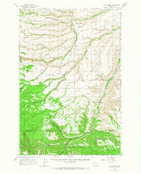
1965 · Logy Creek
USGS Topo · 1:62,500