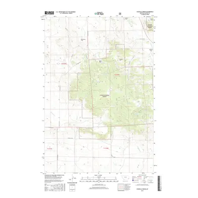
2017 Map of Stagville Draw
USGS Topo · Published 2017About this map
The Ekalaka Hills rise prominently within the eastern portion of the Custer National Forest, defining a landscape marked by complex drainage patterns and seasonal water sources. This portion of Carter County is characterized by numerous draws and gulches, including the titular Stagville Draw and the descriptively named Dead Horse Draw. These landforms dictate the flow of ephemeral and perennial streams such as Little Beaver Cr and Smith Cr, which are essential to the high-plains ecosystem.
Find a feature on this map
29 named features on this map. Tap any name to fly to it.
Don’t see what you’re looking for? This feature index may not catch every label — zoom into the map to look around manually.
Map Details
Editions of this 2017 Stagville Draw Map
This is the sole edition of this map. No revisions or reprints were ever made.
Other maps of this area

1954 · Ekalaka
USGS Topo · 1:250,000

1956 · Ekalaka
USGS Topo · 1:250,000

1958 · Ekalaka
USGS Topo · 1:250,000

1965 · Ekalaka
USGS Topo · 1:250,000

1979 · Beaver Flats South
USGS Topo · 1:24,000

1979 · Dead Boy Divide
USGS Topo · 1:24,000

1979 · Chalk Buttes
USGS Topo · 1:24,000

1979 · Ekalaka
USGS Topo · 1:24,000

1979 · Beaver Flats North
USGS Topo · 1:24,000

1980 · Taylor Hills
USGS Topo · 1:24,000