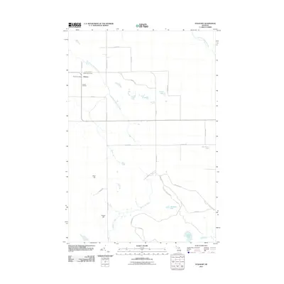
2011 Map of Stalwart
USGS Topo · Published 2011About this map
Stalwart serves as the primary focal point of this Eastern Upper Peninsula survey, located where the East Branch Munuscong River begins its winding course through the landscape. The community structure is defined by civic landmarks such as the Stalwart Post Office, the Stalwart Cemetery, and the local Stalwart Fair Ground, suggesting a long-standing rural gathering point for Mackinac County residents. The terrain transition is marked by localized elevations including Birch Hill and Hungry Hill, which rise above a low-lying network of water bodies and marshy drainages.
Find a feature on this map
31 named features on this map. Tap any name to fly to it.
Don’t see what you’re looking for? This feature index may not catch every label — zoom into the map to look around manually.
Map Details
Editions of this 2011 Stalwart Map
This is the sole edition of this map. No revisions or reprints were ever made.
Other maps of this area

1931 · Pickford SE
USGS Topo · 1:31,680

1953 · Munuscong
USGS Topo · 1:24,000

1953 · Munuscong NE
USGS Topo · 1:24,000
1953 · Pickford
USGS Topo · 1:24,000

1954 · Sault Sainte Marie
USGS Topo · 1:250,000

1955 · Cheboygan
USGS Topo · 1:250,000

1956 · Sault Sainte Marie
USGS Topo · 1:250,000

1957 · Sault Sainte Marie
USGS Topo · 1:250,000

1958 · Cheboygan
USGS Topo · 1:250,000

1958 · Sault Sainte Marie
USGS Topo · 1:250,000