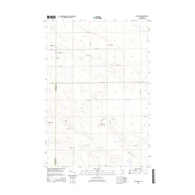
2014 Map of Stalwart
USGS Topo · Published 2014About this map
Stalwart anchors this portion of the Eastern Upper Peninsula, situated near the boundary where Mackinac and Chippewa Counties meet. The landscape is defined by the headwaters of several drainage systems, including the E Br Munuscong River and S Br Gogomain River in the north, while the southern terrain is carved by Beaver Tail Cr. These watercourses navigate a complex geography of localized rises such as Birch Hill and Hungry Hill, interspersed with small glacial lakes like Covach Lake and McAdams Lake.
Find a feature on this map
34 named features on this map. Tap any name to fly to it.
Don’t see what you’re looking for? This feature index may not catch every label — zoom into the map to look around manually.
Map Details
Editions of this 2014 Stalwart Map
This is the sole edition of this map. No revisions or reprints were ever made.
Other maps of this area

1931 · Pickford SE
USGS Topo · 1:31,680

1953 · Munuscong
USGS Topo · 1:24,000

1953 · Munuscong NE
USGS Topo · 1:24,000
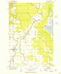
1953 · Pickford
USGS Topo · 1:24,000

1954 · Sault Sainte Marie
USGS Topo · 1:250,000

1955 · Cheboygan
USGS Topo · 1:250,000

1956 · Sault Sainte Marie
USGS Topo · 1:250,000

1957 · Sault Sainte Marie
USGS Topo · 1:250,000

1958 · Cheboygan
USGS Topo · 1:250,000

1958 · Sault Sainte Marie
USGS Topo · 1:250,000