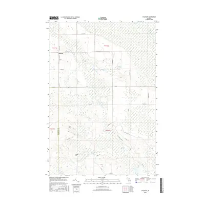
2017 Map of Stalwart
USGS Topo · Published 2017About this map
The unincorporated settlement of Stalwart anchors this portion of Michigan’s Upper Peninsula, situated at the boundary of Mackinac and Chippewa counties. The landscape is defined by extensive wetlands, most notably the Gogomain Swamp in the northeast and the drainage networks of the South Branch Gogomain River and East Branch Munuscong River. Topographic relief is provided by local elevations like Birch Hill and Hungry Hill, which rise above the surrounding lake-dotted terrain. Genealogists will find the Stalwart Cemetery along South Reynolds Road, a primary north-south artery for the community. The map also detail a series of smaller water bodies such as McAdams Lake, Fulmer Lake, and Covach Lake, highlighting the interior hydrology of the eastern Upper Peninsula before these waters reach the Great Lakes coast.
Find a feature on this map
37 named features on this map. Tap any name to fly to it.
Don’t see what you’re looking for? This feature index may not catch every label — zoom into the map to look around manually.
Map Details
Editions of this 2017 Stalwart Map
This is the sole edition of this map. No revisions or reprints were ever made.
Other maps of this area

1931 · Pickford SE
USGS Topo · 1:31,680

1953 · Munuscong
USGS Topo · 1:24,000

1953 · Munuscong NE
USGS Topo · 1:24,000
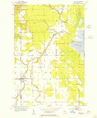
1953 · Pickford
USGS Topo · 1:24,000

1954 · Sault Sainte Marie
USGS Topo · 1:250,000

1955 · Cheboygan
USGS Topo · 1:250,000

1956 · Sault Sainte Marie
USGS Topo · 1:250,000

1957 · Sault Sainte Marie
USGS Topo · 1:250,000

1958 · Cheboygan
USGS Topo · 1:250,000

1958 · Sault Sainte Marie
USGS Topo · 1:250,000