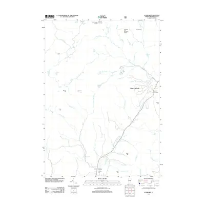
2012 Map of Stamford
USGS Topo · Published 2012About this map
Stamford serves as the primary hub in this corner of Bennington County, where the valley of the N Br Hoosic River meets the rising elevations of the Stamford and Woodford Plateau. The landscape is defined by its recreation and seasonal settlements, from the residential Village of Alpenwald to remote outposts like Congdon Camp and Yaw Brook Cabin. High-elevation features such as Prospect Mountain and Dutch Hill are home to dedicated recreation sites, specifically the Prospect Mountain Winter Sports Area and the Dutch Hill Winter Sports Area. Genealogists may find interest in the Houghton Cem located near the town center, while topographical features like Houghton Mountain and Spruce Hill mark the transition toward the deerfield river drainages. The map reveals a network of mountain streams, including Crazy John Stream and Roaring Brook, which feed into the Hoosic and Deerfield systems.
Find a feature on this map
38 named features on this map. Tap any name to fly to it.
Don’t see what you’re looking for? This feature index may not catch every label — zoom into the map to look around manually.
Map Details
Editions of this 2012 Stamford Map
This is the sole edition of this map. No revisions or reprints were ever made.
Other maps of this area

1886 · Greylock
USGS Topo · 1:62,500

1886 · Hawley
USGS Topo · 1:62,500

1889 · Wilmington
USGS Topo · 1:62,500

1890 · Hawley
USGS Topo · 1:62,500

1891 · Wilmington
USGS Topo · 1:62,500

1891 · Greylock
USGS Topo · 1:62,500

1893 · Greylock
USGS Topo · 1:62,500

1894 · Hawley
USGS Topo · 1:62,500

1898 · Bennington
USGS Topo · 1:62,500

1898 · Greylock
USGS Topo · 1:62,500