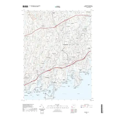
2021 Map of Stamford
USGS Topo · Published 2021About this map
Stamford and its surrounding coastal villages are depicted here as a complex network of residential neighborhoods, transit corridors, and preserved historical sites along the Long Island Sound. The map highlights the dense settlement patterns of the 21st century, from the urban core at Ridgeway and South End to established communities like Springdale and Glenbrook. For genealogists and local historians, the sheet is particularly valuable for its documentation of numerous burial sites, including the Old Burying Ground, Hitchcock Family Burying Ground, and the Strickland Road Park Indian Cem. The geography is defined by the Mianus River and Rippowam River flowing south into the harbor, past landmarks like the University of Connecticut Stamford and the Stamford / Norwalk Judicial District Superior Court. The presence of the Metro-North line and major bridges like the Theal Bridge illustrate the modern connectivity of this Fairfield County shoreline.
Find a feature on this map
136 named features on this map. Tap any name to fly to it.
Don’t see what you’re looking for? This feature index may not catch every label — zoom into the map to look around manually.
Map Details
Editions of this 2021 Stamford Map
This is the sole edition of this map. No revisions or reprints were ever made.
Other maps of this area

1892 · Stamford
USGS Topo · 1:62,500

1892 · Norwalk
USGS Topo · 1:62,500

1893 · Stamford
USGS Topo · 1:62,500

1893 · Norwalk
USGS Topo · 1:62,500

1897 · Oyster Bay
USGS Topo · 1:62,500

1898 · Oyster Bay
USGS Topo · 1:62,500

1899 · Stamford
USGS Topo · 1:62,500

1900 · Oyster Bay
USGS Topo · 1:62,500

1901 · Northport
USGS Topo · 1:62,500

1903 · Northport
USGS Topo · 1:62,500