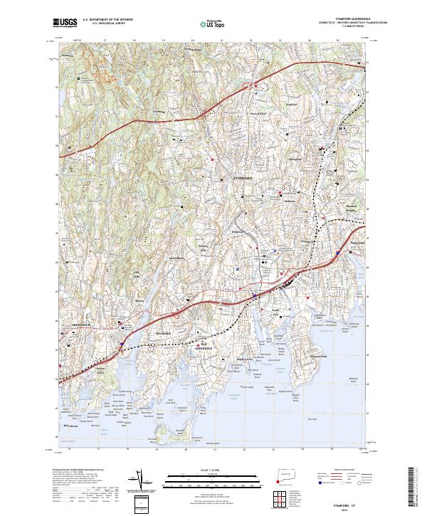
2024 Map of Stamford
USGS Topo · Published 2024About this map
Stamford and the surrounding coastline of Greenwich are presented here in high detail, showcasing a landscape defined by its transition from suburban hills to the intricate shoreline of Long Island Sound. The map reveals the densely developed corridors along the Metro-North railroad and major arteries like the Merritt Pkwy and I-95, which cut through long-established neighborhoods like Springdale and Glenbrook. Moving north, the terrain becomes more residential and wooded, with named heights such as Hunting Ridge and Webbs Hill rising above the Mianus River and Rippowam River valleys.
Find a feature on this map
146 named features on this map. Tap any name to fly to it.
Don’t see what you’re looking for? This feature index may not catch every label — zoom into the map to look around manually.
Map Details
Editions of this 2024 Stamford Map
This is the sole edition of this map. No revisions or reprints were ever made.
Other maps of this area

1892 · Stamford
USGS Topo · 1:62,500

1892 · Norwalk
USGS Topo · 1:62,500

1893 · Stamford
USGS Topo · 1:62,500

1893 · Norwalk
USGS Topo · 1:62,500

1897 · Oyster Bay
USGS Topo · 1:62,500

1898 · Oyster Bay
USGS Topo · 1:62,500

1899 · Stamford
USGS Topo · 1:62,500

1900 · Oyster Bay
USGS Topo · 1:62,500

1901 · Northport
USGS Topo · 1:62,500

1903 · Northport
USGS Topo · 1:62,500