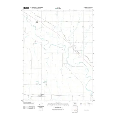
2011 Map of Stamford
USGS Topo · Published 2011About this map
Stamford anchors the southern landscape of this 2011 survey, situated along the path of Sappa Creek and the Old Hwy. The village is a focal point for local history, containing the Stamford Post Office and the nearby Stamford Cemetery. The area's water management and agricultural infrastructure are prominently displayed, characterized by the Cambridge Canal which cuts diagonally across the northern half of the map, and several small reservoirs such as Stamford Reservoir 2-A and Crow Reservoir.
Find a feature on this map
31 named features on this map. Tap any name to fly to it.
Don’t see what you’re looking for? This feature index may not catch every label — zoom into the map to look around manually.
Map Details
Editions of this 2011 Stamford Map
This is the sole edition of this map. No revisions or reprints were ever made.
Other maps of this area

1896 · Holdrege
USGS Topo · 1:125,000

1896 · Arapahoe
USGS Topo · 1:125,000

1898 · Arapahoe
USGS Topo · 1:125,000

1955 · Grand Island
USGS Topo · 1:250,000

1957 · Grand Island
USGS Topo · 1:250,000

1957 · Precept
USGS Topo · 1:24,000

1957 · Stamford SE
USGS Topo · 1:24,000

1958 · Grand Island
USGS Topo · 1:250,000

1958 · Hollinger
USGS Topo · 1:24,000

1958 · Stamford
USGS Topo · 1:24,000