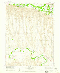
1958 Map of Hollinger
USGS Topo · Published 1959About this map
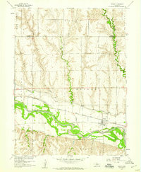
Republican River meanders across the northern edge of this south-central Nebraska landscape, while the southern reaches are defined by the winding course of Beaver Creek. Near the center of the sheet, the small settlement of Hollinger sits along the Chicago Burlington and Quincy railroad line, serving as a quiet focal point in a region of rolling agricultural divides. To the northeast, the town of Oxford appears at the junction of the river valley and rail corridor, marked by local infrastructure like a Sandpit and Sewage Disposal facility near the Furnas and Harlan County line.
Find a feature on this map
19 named features on this map. Tap any name to fly to it.
Don’t see what you’re looking for? This feature index may not catch every label — zoom into the map to look around manually.
Map Details
Editions of this 1958 Hollinger Map
This is the sole edition of this map. No revisions or reprints were ever made.
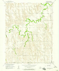
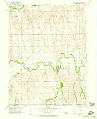
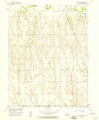
Other maps of this area

1896 · Arapahoe
USGS Topo · 1:125,000

1898 · Arapahoe
USGS Topo · 1:125,000

1955 · Grand Island
USGS Topo · 1:250,000

1957 · Grand Island
USGS Topo · 1:250,000
1957 · Precept
USGS Topo · 1:24,000
1957 · Beaver City SE
USGS Topo · 1:24,000
1957 · Stamford SE
USGS Topo · 1:24,000

1958 · Grand Island
USGS Topo · 1:250,000
1958 · Edison
USGS Topo · 1:24,000
1958 · Beaver City
USGS Topo · 1:24,000