
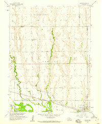
1958 Map of Edison
USGS Topo · Published 1959About this map
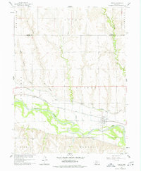
Edison serves as the focal point of this late-1950s survey of south-central Nebraska, situated just north of the meandering Republican River. The landscape is defined by the critical water management systems of the era, including the Cambridge Canal and its associated siphons and flumes, which supported agricultural development in the Republican River Basin. The transportation corridor of the Chicago Burlington and Quincy railroad runs parallel to the river, anchoring the town's connection to regional markets.
Find a feature on this map
17 named features on this map. Tap any name to fly to it.
Don’t see what you’re looking for? This feature index may not catch every label — zoom into the map to look around manually.
Map Details
Editions of this 1958 Edison Map
2 editions found
Other maps of this area

1896 · Arapahoe
USGS Topo · 1:125,000

1898 · Arapahoe
USGS Topo · 1:125,000

1955 · Grand Island
USGS Topo · 1:250,000

1957 · Grand Island
USGS Topo · 1:250,000

1958 · Grand Island
USGS Topo · 1:250,000

1958 · Hollinger
USGS Topo · 1:24,000
1958 · Arapahoe
USGS Topo · 1:24,000
1958 · Hendley
USGS Topo · 1:24,000
1958 · Beaver City
USGS Topo · 1:24,000
1958 · Oxford
USGS Topo · 1:24,000