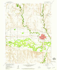
1958 Map of Arapahoe
USGS Topo · Published 1959About this map
The Republican River meanders through the heart of the Nebraska plains, anchoring the settlement of Arapahoe. Developed as part of the Missouri River Basin program, this 1950s survey highlights the essential relationship between water and the local economy. The irrigation potential of the Cambridge Canal parallels the river, while the Chicago Burlington and Quincy railroad line provides the primary transportation corridor through the valley. Local landmarks such as the Arapahoe Cemetery and St Matthews Ch mark the cultural landscape, alongside essential services like the High Sch and the municipal WT (water tower). The terrain is defined by drainage systems including East Muddy Creek and Elk Creek, which carve into the surrounding uplands like West Muddy and Burtons Bend. This period represents a time when traditional agricultural patterns were supported by significant infrastructure like the river's Gaging Station.
Find a feature on this map
27 named features on this map. Tap any name to fly to it.
Don’t see what you’re looking for? This feature index may not catch every label — zoom into the map to look around manually.
Map Details
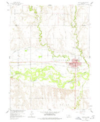
Editions of this 1958 Arapahoe Map
2 editions found
Other maps of this area

1896 · Arapahoe
USGS Topo · 1:125,000

1898 · Arapahoe
USGS Topo · 1:125,000

1954 · McCook
USGS Topo · 1:250,000

1955 · Grand Island
USGS Topo · 1:250,000

1957 · McCook
USGS Topo · 1:250,000

1957 · Grand Island
USGS Topo · 1:250,000

1958 · McCook
USGS Topo · 1:250,000

1958 · Grand Island
USGS Topo · 1:250,000

1958 · Edison
USGS Topo · 1:24,000
1958 · Wilsonville NE
USGS Topo · 1:24,000