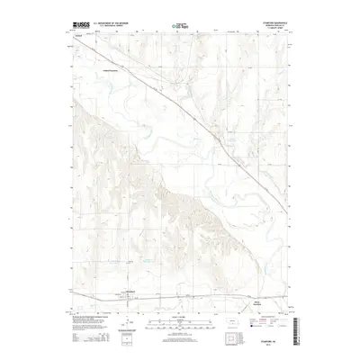
2014 Map of Stamford
USGS Topo · Published 2014About this map
The Republican River valley forms the geographic heart of this Harlan County landscape, where the meandering waterway is flanked by a complex system of irrigation and water management features. The Cambridge Canal cuts across the northern terrain, supporting the agricultural vitality of the region near Oxford and Oxford Junction. To the south, the settlement of Stamford sits just north of Sappa Cr, serving as a focal point for local history with the nearby Stamford Cem.
Find a feature on this map
29 named features on this map. Tap any name to fly to it.
Don’t see what you’re looking for? This feature index may not catch every label — zoom into the map to look around manually.
Map Details
Editions of this 2014 Stamford Map
This is the sole edition of this map. No revisions or reprints were ever made.
Other maps of this area

1896 · Holdrege
USGS Topo · 1:125,000

1896 · Arapahoe
USGS Topo · 1:125,000

1898 · Arapahoe
USGS Topo · 1:125,000

1955 · Grand Island
USGS Topo · 1:250,000

1957 · Grand Island
USGS Topo · 1:250,000

1957 · Precept
USGS Topo · 1:24,000

1957 · Stamford SE
USGS Topo · 1:24,000

1958 · Grand Island
USGS Topo · 1:250,000

1958 · Hollinger
USGS Topo · 1:24,000

1958 · Stamford
USGS Topo · 1:24,000