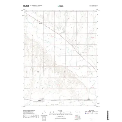
2017 Map of Stamford
USGS Topo · Published 2017About this map
The Republican River meanders across this landscape of south-central Nebraska, serving as the primary drainage for a region defined by its water management and rural road networks. In the northwest corner, the town of Oxford and nearby Oxford Junction mark a significant transit point, while the community of Stamford anchors the southwestern section along Old State Hwy 89. Local genealogy is centered at the Stamford Cem, located just north of the town site.
Find a feature on this map
41 named features on this map. Tap any name to fly to it.
Don’t see what you’re looking for? This feature index may not catch every label — zoom into the map to look around manually.
Map Details
Editions of this 2017 Stamford Map
This is the sole edition of this map. No revisions or reprints were ever made.
Other maps of this area

1896 · Holdrege
USGS Topo · 1:125,000

1896 · Arapahoe
USGS Topo · 1:125,000

1898 · Arapahoe
USGS Topo · 1:125,000

1955 · Grand Island
USGS Topo · 1:250,000

1957 · Grand Island
USGS Topo · 1:250,000

1957 · Precept
USGS Topo · 1:24,000

1957 · Stamford SE
USGS Topo · 1:24,000

1958 · Grand Island
USGS Topo · 1:250,000

1958 · Hollinger
USGS Topo · 1:24,000

1958 · Stamford
USGS Topo · 1:24,000