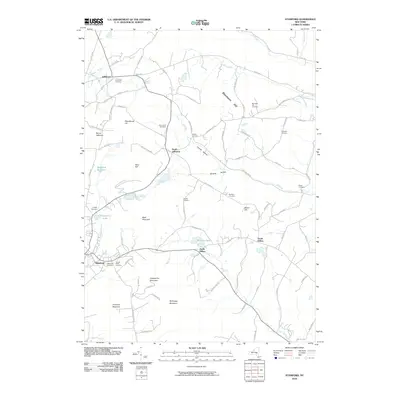
2010 Map of Stamford
USGS Topo · Published 2010About this map
Stamford and Jefferson anchor this Catskill region landscape, situated where the headwaters of the West Branch Delaware River emerge near the base of Mount Jefferson. The area is defined by high peaks and narrow valleys, with Utsayantha Mountain and McGregor Mountain dominating the southern portion of the sheet. Numerous cemeteries, including Evergreen Cemetery and the Holy Cross Cemetery, are scattered across the hillsides, serving as significant markers for local genealogical research.
Find a feature on this map
92 named features on this map. Tap any name to fly to it.
Don’t see what you’re looking for? This feature index may not catch every label — zoom into the map to look around manually.
Map Details
Editions of this 2010 Stamford Map
This is the sole edition of this map. No revisions or reprints were ever made.
Other maps of this area

1898 · Schoharie
USGS Topo · 1:62,500

1900 · Schoharie
USGS Topo · 1:62,500

1901 · Gilboa
USGS Topo · 1:62,500

1903 · Gilboa
USGS Topo · 1:62,500

1904 · Richmondville
USGS Topo · 1:62,500

1904 · Hobart
USGS Topo · 1:62,500

1943 · Breakabeen
USGS Topo · 1:24,000

1943 · Charlotteville
USGS Topo · 1:24,000

1943 · Summit
USGS Topo · 1:24,000
1945 · Summit
USGS Topo · 1:31,680