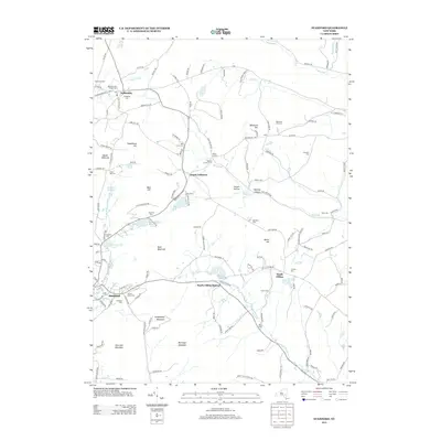
2013 Map of Stamford
USGS Topo · Published 2013About this map
Stamford and Jefferson anchor this Catskill mountain landscape, where the West Br Delaware River begins its course near the base of Utsayantha Mountain. The map reveals a distribution of rural crossroads and hamlets like South Gilboa and Welch Corners, connected by a network of hollows such as Cornell Hollow and Whiting Hollow. This area is particularly dense with small family and community burial grounds, including Jefferson Old Village Cem, Ruliffson Cem, and the Shew Cem near Mine Kill.
Find a feature on this map
147 named features on this map. Tap any name to fly to it.
Don’t see what you’re looking for? This feature index may not catch every label — zoom into the map to look around manually.
Map Details
Editions of this 2013 Stamford Map
This is the sole edition of this map. No revisions or reprints were ever made.
Other maps of this area

1898 · Schoharie
USGS Topo · 1:62,500

1900 · Schoharie
USGS Topo · 1:62,500

1901 · Gilboa
USGS Topo · 1:62,500

1903 · Gilboa
USGS Topo · 1:62,500

1904 · Richmondville
USGS Topo · 1:62,500

1904 · Hobart
USGS Topo · 1:62,500

1943 · Breakabeen
USGS Topo · 1:24,000

1943 · Charlotteville
USGS Topo · 1:24,000

1943 · Summit
USGS Topo · 1:24,000
1945 · Summit
USGS Topo · 1:31,680