
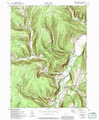
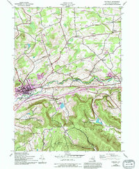
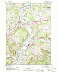
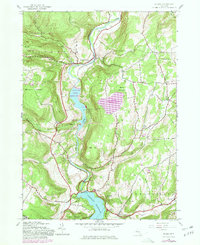
2023 Map of Stamford
USGS Topo · Published 2023About this map
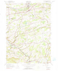
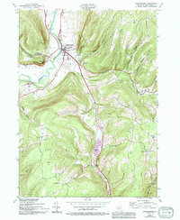
Utsayantha Mountain and the peaks of the Moresville Range dominate the high-elevation terrain where the Schoharie Co and Delaware Co boundary line cuts through central New York. The village of Stamford sits at the foot of these heights, near the headwaters of the West Branch Delaware River and the shores of Utsayantha Lake. This geography creates a landscape of steep hollows, including Whiting Hollow and Shew Hollow, where local life is defined by narrow valley corridors and winding roads like Co Rd 12.
Find a feature on this map
131 named features on this map. Tap any name to fly to it.
Don’t see what you’re looking for? This feature index may not catch every label — zoom into the map to look around manually.
Map Details
Editions of this 2023 Stamford Map
This is the sole edition of this map. No revisions or reprints were ever made.
Historical Maps of Jefferson Through Time
37 maps found

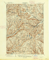
1898 Schoharie
Schoharie County, NY

1900 Schoharie
Schoharie County, NY
1900 Schoharie
Schoharie County, NY

1901 Gilboa
Schoharie County, NY
1903 Gilboa
Schoharie County, NY
1904 Richmondville
Schoharie County, NY
1943 Breakabeen
Schoharie County, NY
1943 Cobleskill
Schoharie County, NY
1943 Schoharie
Schoharie County, NY

1943 Summit
Schoharie County, NY
1944 Gallupville
Schoharie County, NY
1944 Middleburgh
Schoharie County, NY

1944 Richmondville
Schoharie County, NY

1945 Cobleskill
Schoharie County, NY
1945 Gilboa
Schoharie County, NY
1945 Livingstonville
Schoharie County, NY

1945 Richmondville
Schoharie County, NY

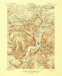
1945 Stamford
Schoharie County, NY

1945 Summit
Schoharie County, NY

1946 Breakabeen
Schoharie County, NY

1946 Gallupville
Schoharie County, NY

1946 Livingstonville
Schoharie County, NY

1946 Middleburgh
Schoharie County, NY

1946 Schoharie
Schoharie County, NY

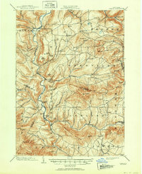
1946 Stamford
Schoharie County, NY

1962 Livingstonville
Schoharie County, NY

1996 Cobleskill
Schoharie County, NY

2023 Breakabeen
Schoharie County, NY

2023 Cobleskill
Schoharie County, NY

2023 Gallupville
Schoharie County, NY

2023 Gilboa
Schoharie County, NY

2023 Livingstonville
Schoharie County, NY

2023 Middleburgh
Schoharie County, NY

2023 Richmondville
Schoharie County, NY

2023 Schoharie
Schoharie County, NY
2023 Stamford
Schoharie County, NY

2023 Summit
Schoharie County, NY