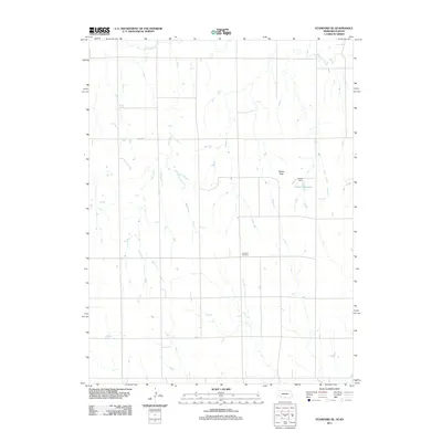
2011 Map of Stamford SE
USGS Topo · Published 2011About this map
Sappa Creek and Twin Creek define the drainage patterns of this Phillips County landscape, where the agricultural grid is etched into the terrain by local routes like Road 708 and 703 Rd. The area is anchored by the Lutheran Cemetery, a significant point of reference for local family history and genealogy. Water management is a central feature of the local topography, evidenced by the Lubeck Dam and Lubeck Reservoir. Rising above the surrounding draws and creek beds, Sappa Peak provides a distinct natural landmark in this section of the High Plains near the Nebraska-Kansas border. The layout of section lines and sparse water features reflects the persistent spatial organization of rural life in the early 21st century.
Find a feature on this map
8 named features on this map. Tap any name to fly to it.
Don’t see what you’re looking for? This feature index may not catch every label — zoom into the map to look around manually.
Map Details
Editions of this 2011 Stamford SE Map
This is the sole edition of this map. No revisions or reprints were ever made.
Other maps of this area

1893 · Norton
USGS Topo · 1:125,000

1893 · Phillipsburg
USGS Topo · 1:125,000

1896 · Holdrege
USGS Topo · 1:125,000

1896 · Arapahoe
USGS Topo · 1:125,000

1898 · Arapahoe
USGS Topo · 1:125,000

1955 · Grand Island
USGS Topo · 1:250,000

1955 · Beloit
USGS Topo · 1:250,000

1957 · Grand Island
USGS Topo · 1:250,000

1957 · Precept
USGS Topo · 1:24,000

1957 · Stamford SE
USGS Topo · 1:24,000