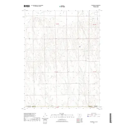
2017 Map of Stamford SE
USGS Topo · Published 2017About this map
Sappa Peak rises as a prominent landmark in this upland landscape where the northern edge of Phillips County, Kansas, meets the Nebraska border. The terrain is defined by the drainage networks of Sappa Creek and Twin Creek, which cut through the high plains. Human presence is marked by a precise grid of rural roads, including 710 Road and 702 Road, that navigate the undulating contours of the land. For those researching the social history of the region, the map preserves the locations of two essential community anchors: Lutheran Cemetery and Home Cemetery. The presence of Lubeck Reservoir provides a rare point of managed water in an otherwise dissected agricultural and grazing landscape, reflecting the local importance of water conservation in the western plains.
Find a feature on this map
24 named features on this map. Tap any name to fly to it.
Don’t see what you’re looking for? This feature index may not catch every label — zoom into the map to look around manually.
Map Details
Editions of this 2017 Stamford SE Map
This is the sole edition of this map. No revisions or reprints were ever made.
Other maps of this area

1893 · Norton
USGS Topo · 1:125,000

1893 · Phillipsburg
USGS Topo · 1:125,000

1896 · Holdrege
USGS Topo · 1:125,000

1896 · Arapahoe
USGS Topo · 1:125,000

1898 · Arapahoe
USGS Topo · 1:125,000

1955 · Grand Island
USGS Topo · 1:250,000

1955 · Beloit
USGS Topo · 1:250,000

1957 · Grand Island
USGS Topo · 1:250,000

1957 · Precept
USGS Topo · 1:24,000

1957 · Stamford SE
USGS Topo · 1:24,000