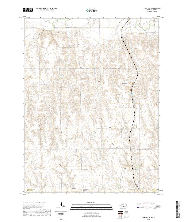
2021 Map of Stamford SE
USGS Topo · Published 2021About this map
The Nebraska-Kansas border forms the southern boundary of this 2021 survey, where the rolling plains of Harlan County meet the northern edge of Phillips County. The landscape is defined by the drainage of Sappa Cr and Twin Cr, watercourses that have historically shaped the agricultural layout of the region. Local landmarks like Sappa Peak and the Lubeck Reservoir provide orientation amidst a grid of rural section roads, from 710 Rd down to the state line along 702 Rd. Genealogical interest is centered on the Lutheran Cem and Home Cem, both of which serve as enduring anchors for the scattered farming communities and families who have worked these prairie lands for generations.
Find a feature on this map
24 named features on this map. Tap any name to fly to it.
Don’t see what you’re looking for? This feature index may not catch every label — zoom into the map to look around manually.
Map Details
Editions of this 2021 Stamford SE Map
This is the sole edition of this map. No revisions or reprints were ever made.
Other maps of this area

1893 · Norton
USGS Topo · 1:125,000

1893 · Phillipsburg
USGS Topo · 1:125,000

1896 · Holdrege
USGS Topo · 1:125,000

1896 · Arapahoe
USGS Topo · 1:125,000

1898 · Arapahoe
USGS Topo · 1:125,000

1955 · Grand Island
USGS Topo · 1:250,000

1955 · Beloit
USGS Topo · 1:250,000

1957 · Grand Island
USGS Topo · 1:250,000

1957 · Precept
USGS Topo · 1:24,000

1957 · Stamford SE
USGS Topo · 1:24,000