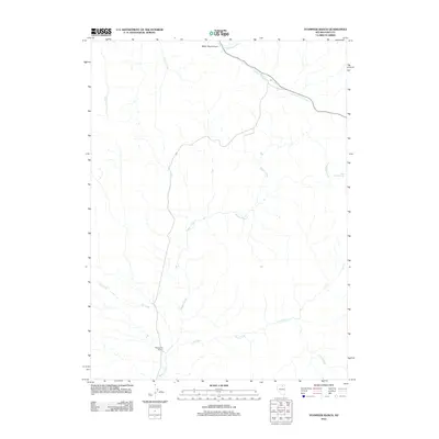
2012 Map of Stampede Ranch
USGS Topo · Published 2012About this map
Stampede Ranch serves as the primary landmark in this Elko County landscape, where water management and ranching define the terrain. The central drainage of Maggie Creek is fed by numerous seasonal tributaries, including Coon Creek to the south and Dip Creek to the west. In the northeast, Eagle Rock Reservoir provides a critical point of water storage for the high desert environment. The topography is further shaped by Water Pipe Canyon and the winding course of Taylors Cañon Creek, which follows a modern roadway corridor. This 2012 survey illustrates the sparse settlement patterns typical of rural Nevada, where geographic features like Carlin Creek and Coal Creek are as significant to local orientation as the ranch headquarters themselves.
Find a feature on this map
11 named features on this map. Tap any name to fly to it.
Don’t see what you’re looking for? This feature index may not catch every label — zoom into the map to look around manually.
Map Details
Editions of this 2012 Stampede Ranch Map
This is the sole edition of this map. No revisions or reprints were ever made.
Other maps of this area

1955 · McDermitt
USGS Topo · 1:250,000

1955 · Wells
USGS Topo · 1:250,000

1956 · Tuscarora
USGS Topo · 1:62,500

1958 · Wells
USGS Topo · 1:250,000

1958 · Singletree Creek
USGS Topo · 1:24,000

1958 · Blue Basin
USGS Topo · 1:24,000

1959 · McDermitt
USGS Topo · 1:250,000

1961 · Wells
USGS Topo · 1:250,000

1970 · Lake Mountain
USGS Topo · 1:24,000

1970 · Stampede Ranch
USGS Topo · 1:24,000