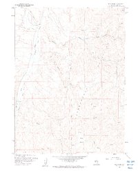
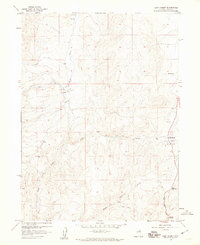
1958 Map of Blue Basin
USGS Topo · Published 1960About this map
The Independence Mountains dominate this high-desert landscape in Elko County, where seasonal drainages and numerous Springs define the patterns of early ranching and transit. In the late 1950s, the area remained largely open range, marked by long stretches of Drift Fence and the winding Carlin Trail used to navigate the high country. Water management is central to the map's geography, with a dense network of creeks including Maggie Creek, Taylor Creek, and Basco Field Creek cutting through the terrain toward the lower Blue Basin. The presence of several Jeep Trails and unnamed service roads suggests a landscape actively used for livestock grazing and mineral exploration. Notable high-altitude landmarks include Lone Mountain and the survey station at Vabm 7557, providing essential triangulation points for this mid-century topographic study.
Find a feature on this map
23 named features on this map. Tap any name to fly to it.
Don’t see what you’re looking for? This feature index may not catch every label — zoom into the map to look around manually.
Map Details
Editions of this 1958 Blue Basin Map
3 editions found
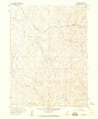
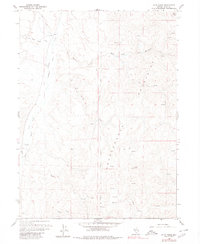
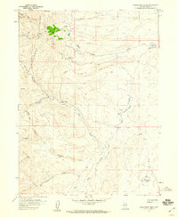
Other maps of this area

1955 · McDermitt
USGS Topo · 1:250,000

1955 · Wells
USGS Topo · 1:250,000

1955 · Winnemucca
USGS Topo · 1:250,000

1955 · Elko
USGS Topo · 1:250,000

1958 · Winnemucca
USGS Topo · 1:250,000

1958 · Wells
USGS Topo · 1:250,000

1958 · Elko
USGS Topo · 1:250,000
1958 · Singletree Creek
USGS Topo · 1:24,000
1958 · Doby Summit
USGS Topo · 1:24,000
1958 · Swales Mountain
USGS Topo · 1:24,000