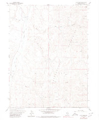
1958 Map of Blue Basin
USGS Topo · Published 1980About this map
The Independence Mountains dominate this high-desert Nevada landscape, defining a high-altitude area centered on Lone Mountain and the deep drainage of Blue Basin Creek. This 1958 field-checked survey reveals an era of ranching and remote navigation, where the land is marked by working infrastructure like the Drift Fence and the Carlin Trail. Water is the vital currency of this terrain, evidenced by the numerous unnamed Springs that feed into Maggie Creek and Taylor Creek. The presence of named grazing areas such as Hereford Field and Basco Field suggests the specific agricultural use of these basins during the mid-20th century. Topographical markers like Maggie VABM 7557 provide fixed points for surveyors in a region primarily accessed by a network of Jeep Trails, illustrating the isolation and specialized land management of northern Elko County at the time.
Find a feature on this map
19 named features on this map. Tap any name to fly to it.
Don’t see what you’re looking for? This feature index may not catch every label — zoom into the map to look around manually.
Map Details
Editions of this 1958 Blue Basin Map
3 editions found
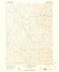
Other maps of this area

1955 · McDermitt
USGS Topo · 1:250,000

1955 · Wells
USGS Topo · 1:250,000

1955 · Winnemucca
USGS Topo · 1:250,000

1955 · Elko
USGS Topo · 1:250,000

1958 · Winnemucca
USGS Topo · 1:250,000

1958 · Wells
USGS Topo · 1:250,000

1958 · Elko
USGS Topo · 1:250,000

1958 · Singletree Creek
USGS Topo · 1:24,000

1958 · Blue Basin
USGS Topo · 1:24,000

1958 · Doby Summit
USGS Topo · 1:24,000