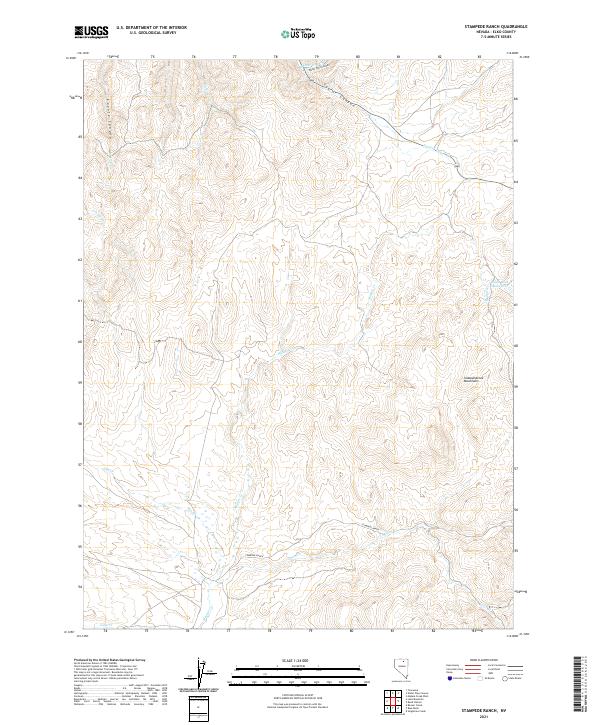
2021 Map of Stampede Ranch
USGS Topo · Published 2021About this map
Stampede Ranch serves as the namesake hub of this Elko County landscape, situated at the base of the Independence Mountains. This 2021 topographic survey captures a high-desert terrain defined by a complex drainage network, where Maggie Cr and its many tributaries, such as Coon Cr and Dip Cr, carve through the basin and range. The presence of Eagle Rock Reservoir and named geographic features like Water Pipe Canyon and Taylor Canyon suggests a long history of water management in a region otherwise characterized by its remote, arid environment.
Find a feature on this map
25 named features on this map. Tap any name to fly to it.
Don’t see what you’re looking for? This feature index may not catch every label — zoom into the map to look around manually.
Map Details
Editions of this 2021 Stampede Ranch Map
This is the sole edition of this map. No revisions or reprints were ever made.
Other maps of this area

1955 · McDermitt
USGS Topo · 1:250,000

1955 · Wells
USGS Topo · 1:250,000

1956 · Tuscarora
USGS Topo · 1:62,500

1958 · Wells
USGS Topo · 1:250,000

1958 · Singletree Creek
USGS Topo · 1:24,000

1958 · Blue Basin
USGS Topo · 1:24,000

1959 · McDermitt
USGS Topo · 1:250,000

1961 · Wells
USGS Topo · 1:250,000

1970 · Lake Mountain
USGS Topo · 1:24,000

1970 · Stampede Ranch
USGS Topo · 1:24,000