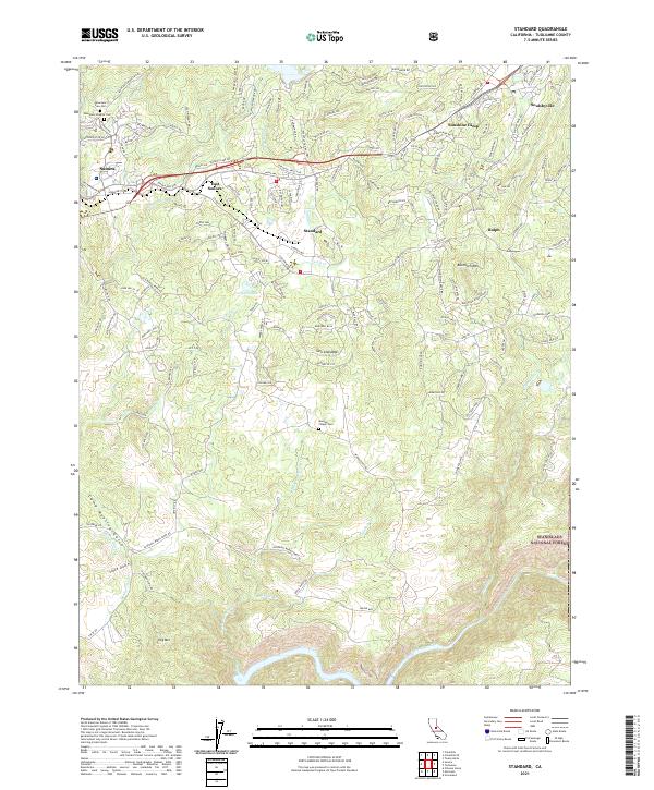
2021 Map of Standard
USGS Topo · Published 2021About this map
The Sierra Nevada foothills outside of Sonora are defined by a complex network of historic water management and mining-era infrastructure. Industrial legacies are visible through the Sierra RR corridor as it winds through Standard and near Ralph, serving a landscape where natural drainage like Sullivan Creek and Turnback Creek is augmented by man-made features such as the Phoenix Ditch and Algerine Ditch. These waterways historically supported the intensive hydraulic and quartz mining operations that once drove the local economy.
Find a feature on this map
170 named features on this map. Tap any name to fly to it.
Don’t see what you’re looking for? This feature index may not catch every label — zoom into the map to look around manually.
Map Details
Editions of this 2021 Standard Map
This is the sole edition of this map. No revisions or reprints were ever made.
Other maps of this area

1891 · Big Trees
USGS Topo · 1:125,000

1893 · Sonora
USGS Topo · 1:125,000

1894 · Big Trees
USGS Topo · 1:125,000
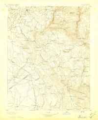
1896 · Sonora
USGS Topo · 1:125,000
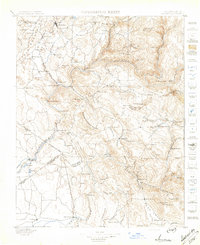
1897 · Sonora
USGS Topo · 1:125,000

1897 · Big Trees
USGS Topo · 1:125,000
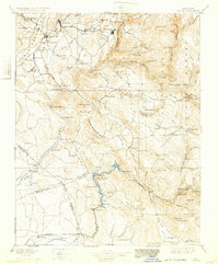
1898 · Sonora
USGS Topo · 1:125,000
1901 · Big Trees
USGS Topo · 1:125,000
1947 · Sacramento
USGS Topo · 1:250,000
1947 · San Jose
USGS Topo · 1:250,000