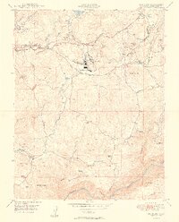
1949 Map of Standard
USGS Topo · Published 1949About this map
Soulsbyville and the industrial hub at Standard anchor this late-1940s survey of the Tuolumne foothills. The landscape is deeply marked by the region's mining heritage, with the Soulsby Mine, Chickenfeed Mine, and Black Oak Mine clustered near the northern settlements. The Sierra RR winds through the hills, serving the timber and mineral interests of the era. This map is particularly valuable for genealogists, as it identifies numerous family properties including Barron Ranch, Hawkins Ranch, and McNutt Ranch. Educational and religious life is documented through the Algerine School and Morgan Chapel, while the southern boundary follows the Tuolumne River near the Wards Ferry Bridge. The transition from active industrial sites to the abandoned shafts of the Sunnyside Mine reflects the shifting economic tides of the Sierra Nevada foothills during the mid-century.
Find a feature on this map
45 named features on this map. Tap any name to fly to it.
Don’t see what you’re looking for? This feature index may not catch every label — zoom into the map to look around manually.
Map Details
Editions of this 1949 Standard Map
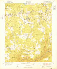
2 editions found
Other maps of this area

1891 · Big Trees
USGS Topo · 1:125,000

1893 · Sonora
USGS Topo · 1:125,000

1894 · Big Trees
USGS Topo · 1:125,000

1896 · Sonora
USGS Topo · 1:125,000

1897 · Sonora
USGS Topo · 1:125,000

1897 · Big Trees
USGS Topo · 1:125,000

1898 · Sonora
USGS Topo · 1:125,000

1901 · Big Trees
USGS Topo · 1:125,000

1947 · Sacramento
USGS Topo · 1:250,000

1947 · San Jose
USGS Topo · 1:250,000