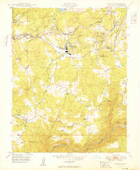
1949 Map of Standard
USGS Topo · Published 1949About this map
The Pickering Lumber Co RR and Sierra RR anchor the industrial landscape of Tuolumne County in this late 1940s survey. The settlement of Standard serves as a central hub for timber and rail operations, situated near the confluence of Sullivan Creek and Curtis Creek. Local industry and settlement patterns are clearly defined, from the active Soulsby Mine and Draper Mine near Soulsbyville to the numerous family estates such as Barron Ranch and Richards Ranch that dot the hillsides.
Find a feature on this map
52 named features on this map. Tap any name to fly to it.
Don’t see what you’re looking for? This feature index may not catch every label — zoom into the map to look around manually.
Map Details
Editions of this 1949 Standard Map
2 editions found
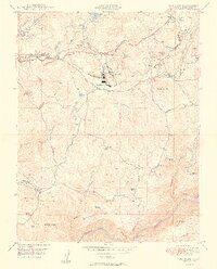
Other maps of this area

1891 · Big Trees
USGS Topo · 1:125,000

1893 · Sonora
USGS Topo · 1:125,000

1894 · Big Trees
USGS Topo · 1:125,000
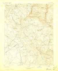
1896 · Sonora
USGS Topo · 1:125,000
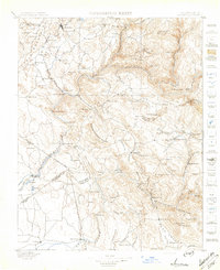
1897 · Sonora
USGS Topo · 1:125,000

1897 · Big Trees
USGS Topo · 1:125,000
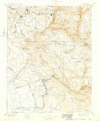
1898 · Sonora
USGS Topo · 1:125,000
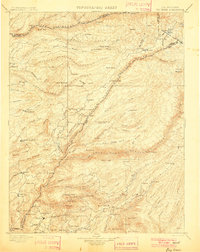
1901 · Big Trees
USGS Topo · 1:125,000
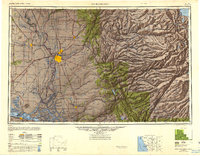
1947 · Sacramento
USGS Topo · 1:250,000
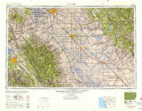
1947 · San Jose
USGS Topo · 1:250,000