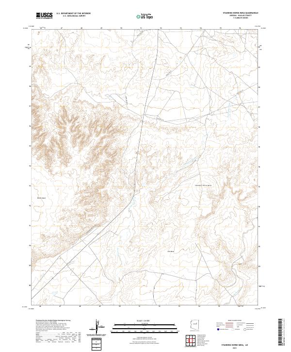
2021 Map of Standing Horse Mesa
USGS Topo · Published 2021About this map
Standing Horse Mesa rises above the intricate drainage network of Navajo County, defining a landscape marked by deep washes and high plateaus. The terrain is dominated by the sprawling Rincon Basin to the west and Ives Mesa to the southeast, illustrating the complex erosion patterns typical of this portion of the Arizona desert. The map tracks the passage of Fern Feather Wash as it snakes between these elevated landforms, providing a vital geographic corridor through the high-desert country. Infrastructure in the area is primarily defined by the Bureau of Indian Affairs road system, including Indian Rte 60 and Indian Rte 603. In the southwest, Painted Desert Rim Dr skirts the edge of the basin, offering a point of access to the high-relief overlooks that characterize the Painted Desert region.
Find a feature on this map
14 named features on this map. Tap any name to fly to it.
Don’t see what you’re looking for? This feature index may not catch every label — zoom into the map to look around manually.
Map Details
Editions of this 2021 Standing Horse Mesa Map
This is the sole edition of this map. No revisions or reprints were ever made.
Other maps of this area

1883 · Tusayan
USGS Topo · 1:250,000

1886 · Tusayan
USGS Topo · 1:250,000

1947 · Flagstaff
USGS Topo · 1:250,000

1954 · Winslow
USGS Topo · 1:62,500

1954 · Winslow 4 SE
USGS Topo · 1:24,000

1954 · Winslow 4 NE
USGS Topo · 1:24,000

1954 · Flagstaff
USGS Topo · 1:250,000

1955 · Mal Pais Springs 3 SW
USGS Topo · 1:24,000

1958 · Flagstaff
USGS Topo · 1:250,000

1960 · Flagstaff
USGS Topo · 1:250,000