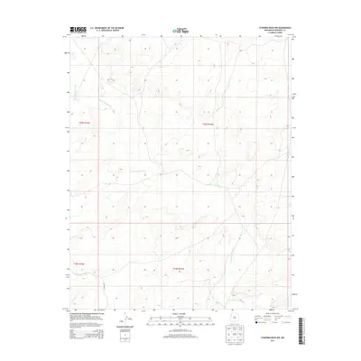
2013 Map of Standing Rock NW
USGS Topo · Published 2013About this map
Standing Rock Wash defines the drainage patterns of this high-desert landscape in northwestern New Mexico, carving a meandering path through the arid terrain. The map reflects a region of sparse development where infrastructure is limited to essential connectors like Ind Sr 9655. Further south, the tributary Soft Water Wash emerges, illustrating the seasonal watercourses that have historically shaped land use and livestock movement in the area. The grid-like division of public land surveys, including townships t20n r16w and t19n r15w, provides a framework for understanding modern property and agency boundaries within the Fort Defiance Agency jurisdiction.
Find a feature on this map
7 named features on this map. Tap any name to fly to it.
Don’t see what you’re looking for? This feature index may not catch every label — zoom into the map to look around manually.
Map Details
Editions of this 2013 Standing Rock NW Map
This is the sole edition of this map. No revisions or reprints were ever made.
Other maps of this area

1886 · Wingate
USGS Topo · 1:250,000

1889 · Chaco
USGS Topo · 1:250,000

1892 · Wingate
USGS Topo · 1:250,000

1892 · Chaco
USGS Topo · 1:250,000

1954 · Shiprock
USGS Topo · 1:250,000

1954 · Gallup
USGS Topo · 1:250,000

1958 · Gallup
USGS Topo · 1:250,000

1958 · Shiprock
USGS Topo · 1:250,000

1959 · Shiprock
USGS Topo · 1:250,000

1959 · Gallup
USGS Topo · 1:250,000