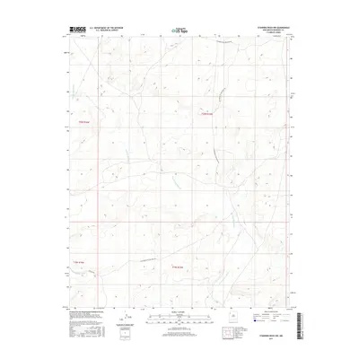
2017 Map of Standing Rock NW
USGS Topo · Published 2017About this map
Standing Rock Wash provides the primary hydrologic structure across this high-desert landscape in the northwestern reaches of New Mexico. The map details a remote section of the Fort Defiance Agency territory where natural drainages like Soft Water Wash dictate the movement of both water and historical transit. The human footprint is defined largely by administrative and infrastructure routes, such as the Old Bureau of Land Mgmt Rd and Ind Sr 9655, which navigate the township and range divisions of T20N R16W and T19N R15W. This 2017 survey reflects the enduring character of the McKinley County terrain, documenting the precise interplay between ephemeral watercourses and the sparse network of land management roads that serve this isolated region.
Find a feature on this map
8 named features on this map. Tap any name to fly to it.
Don’t see what you’re looking for? This feature index may not catch every label — zoom into the map to look around manually.
Map Details
Editions of this 2017 Standing Rock NW Map
This is the sole edition of this map. No revisions or reprints were ever made.
Other maps of this area

1886 · Wingate
USGS Topo · 1:250,000

1889 · Chaco
USGS Topo · 1:250,000

1892 · Wingate
USGS Topo · 1:250,000

1892 · Chaco
USGS Topo · 1:250,000

1954 · Shiprock
USGS Topo · 1:250,000

1954 · Gallup
USGS Topo · 1:250,000

1958 · Gallup
USGS Topo · 1:250,000

1958 · Shiprock
USGS Topo · 1:250,000

1959 · Shiprock
USGS Topo · 1:250,000

1959 · Gallup
USGS Topo · 1:250,000