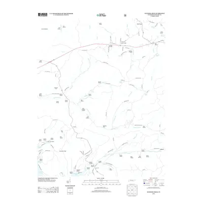
2013 Map of Standing Rock
USGS Topo · Published 2013About this map
Kentucky Lake and Lake Barkley frame this portion of Stewart County, defining a landscape shaped by major Tennessee river impoundments. The terrain between these waters is marked by numerous family-named hollows and ridges, such as Andrews Hollow and Pumpkin Ridge, indicating a long history of local settlement. Small communities like Fair View and Asbury serve as anchor points for the rural road network, while the Short Creek Airport and Leatherwood Dock highlight the area's modern transportation and recreational infrastructure. A geological or historical landmark known simply as Standing Rock sits near the headwaters of Standing Rock Cr, providing a namesake for the surrounding quadrangle. Natural water sources like Bubbling Spring, Cox Spring, and Pearl Spring are interspersed among the ridges, suggesting the importance of local aquifers to the residents of Cross Roads and the surrounding timbered hills.
Find a feature on this map
122 named features on this map. Tap any name to fly to it.
Don’t see what you’re looking for? This feature index may not catch every label — zoom into the map to look around manually.
Map Details
Editions of this 2013 Standing Rock Map
This is the sole edition of this map. No revisions or reprints were ever made.
Other maps of this area

1936 · Poplar Creek
USGS Topo · 1:24,000

1936 · Tharpe
USGS Topo · 1:24,000

1936 · McKinnon
USGS Topo · 1:24,000

1936 · Hamlin
USGS Topo · 1:24,000

1936 · Stewart
USGS Topo · 1:24,000

1936 · Centerville Landing
USGS Topo · 1:24,000

1936 · Standing Rock
USGS Topo · 1:24,000

1936 · Dover
USGS Topo · 1:24,000
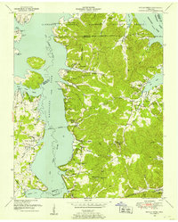
1949 · Poplar Creek
USGS Topo · 1:24,000
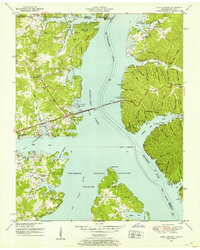
1950 · Paris Landing
USGS Topo · 1:24,000