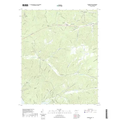
2019 Map of Standing Rock
USGS Topo · Published 2019About this map
Dover and the community of Standing Rock anchor this survey of Stewart County, where the Tennessee River landscape was reshaped decades prior to form Kentucky Lake. The map reveals a terrain heavily defined by its hollows and ridges, such as the Devil's Backbone and Tennessee Ridge, illustrating the complex drainage patterns of Standing Rock Creek and Leatherwood Creek. Genealogists will find a high density of family burial grounds, including the McClanahan Cemetery, Barrow Cemetery, and Standing Rock Cemetery. Evidence of local industry and infrastructure appears in the form of Ore Pit 80 and the Short Creek Airport, while historic transportation routes like the Peytona Trail and Donelson Parkway provide a framework for the region's connectivity between the river and the interior hills.
Find a feature on this map
130 named features on this map. Tap any name to fly to it.
Don’t see what you’re looking for? This feature index may not catch every label — zoom into the map to look around manually.
Map Details
Editions of this 2019 Standing Rock Map
This is the sole edition of this map. No revisions or reprints were ever made.
Other maps of this area

1936 · Poplar Creek
USGS Topo · 1:24,000

1936 · Tharpe
USGS Topo · 1:24,000

1936 · McKinnon
USGS Topo · 1:24,000

1936 · Hamlin
USGS Topo · 1:24,000

1936 · Stewart
USGS Topo · 1:24,000

1936 · Centerville Landing
USGS Topo · 1:24,000

1936 · Standing Rock
USGS Topo · 1:24,000

1936 · Dover
USGS Topo · 1:24,000
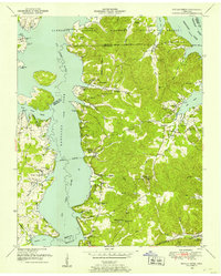
1949 · Poplar Creek
USGS Topo · 1:24,000
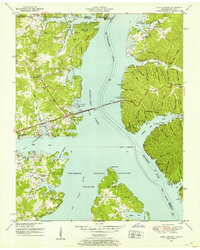
1950 · Paris Landing
USGS Topo · 1:24,000