
1936 Map of Standing Rock
USGS Topo · Published 1936About this map
The Tennessee Basin Ridge Divide dominates this landscape, defining a network of deep hollows and creek valleys in Stewart County just before the mid-century. Settlement centers on the Standing community, where Standing Rock Creek carves a path through the interior hills. The area is marked by a high density of rural institutions, from the Mulberry Hill Sch in the west to Asbury Sch in the southeast.
Find a feature on this map
88 named features on this map. Tap any name to fly to it.
Don’t see what you’re looking for? This feature index may not catch every label — zoom into the map to look around manually.
Map Details
Editions of this 1936 Standing Rock Map
This is the sole edition of this map. No revisions or reprints were ever made.
Other maps of this area

1936 · Poplar Creek
USGS Topo · 1:24,000

1936 · Tharpe
USGS Topo · 1:24,000

1936 · McKinnon
USGS Topo · 1:24,000

1936 · Hamlin
USGS Topo · 1:24,000

1936 · Stewart
USGS Topo · 1:24,000

1936 · Centerville Landing
USGS Topo · 1:24,000

1936 · Dover
USGS Topo · 1:24,000
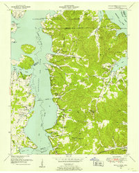
1949 · Poplar Creek
USGS Topo · 1:24,000
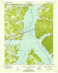
1950 · Paris Landing
USGS Topo · 1:24,000

1950 · Stewart
USGS Topo · 1:24,000