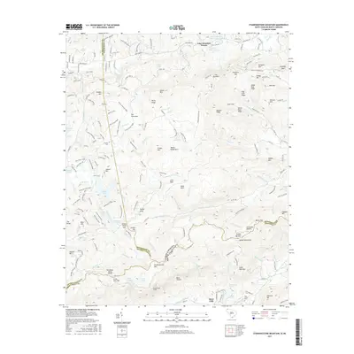
2017 Map of Standingstone Mountain
USGS Topo · Published 2017About this map
Jeter Mountain Terrace and the surrounding high country of the Blue Ridge define this landscape at the intersection of Henderson and Transylvania Counties. The terrain is marked by significant hydrological features, including the Little River and the dramatic series of cataracts at Hooker Falls, Triple Falls, and High Falls. The presence of Mine Mtn and Turkey Knob suggests a history of local resource extraction and prominent geographic landmarks that guided early movement through the region.
Find a feature on this map
194 named features on this map. Tap any name to fly to it.
Don’t see what you’re looking for? This feature index may not catch every label — zoom into the map to look around manually.
Map Details
Editions of this 2017 Standingstone Mountain Map
This is the sole edition of this map. No revisions or reprints were ever made.
Other maps of this area

1905 · Pisgah
USGS Topo · 1:125,000

1906 · Pisgah
USGS Topo · 1:125,000

1907 · Saluda
USGS Topo · 1:125,000

1935 · Brevard
USGS Topo · 1:24,000

1935 · Standingstone Mtn.
USGS Topo · 1:24,000

1935 · Horse Shoe
USGS Topo · 1:24,000

1935 · Hendersonville
USGS Topo · 1:24,000

1935 · Table Rock
USGS Topo · 1:24,000

1935 · Zirconia
USGS Topo · 1:24,000

1935 · Pisgah Forest
USGS Topo · 1:24,000
Featured Places
- Jeter Mountain Terrace, NC
- Greenville County, SC
- Henderson County, NC
- Transylvania County, NC
- United States