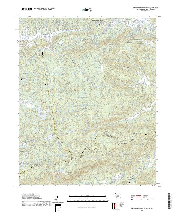
2024 Map of Standingstone Mountain
USGS Topo · Published 2024About this map
The Tennessee Valley Divide snakes across this terrain, marking the high ground between the north-flowing waters of the Little River and the southern drainage of the Green River. The landscape is defined by the high peaks of the Saluda Mountains, including Standingstone Mtn and Forked Mtn. Along the watercourses, several notable cascades are documented, such as High Falls and Bridal Veil Falls near Dupont Lake.
Find a feature on this map
118 named features on this map. Tap any name to fly to it.
Don’t see what you’re looking for? This feature index may not catch every label — zoom into the map to look around manually.
Map Details
Editions of this 2024 Standingstone Mountain Map
This is the sole edition of this map. No revisions or reprints were ever made.
Other maps of this area

1905 · Pisgah
USGS Topo · 1:125,000

1906 · Pisgah
USGS Topo · 1:125,000

1907 · Saluda
USGS Topo · 1:125,000

1935 · Brevard
USGS Topo · 1:24,000

1935 · Standingstone Mtn.
USGS Topo · 1:24,000

1935 · Horse Shoe
USGS Topo · 1:24,000

1935 · Hendersonville
USGS Topo · 1:24,000

1935 · Table Rock
USGS Topo · 1:24,000

1935 · Zirconia
USGS Topo · 1:24,000

1935 · Pisgah Forest
USGS Topo · 1:24,000
Featured Places
- Jeter Mountain Terrace, NC
- Greenville County, SC
- Henderson County, NC
- Transylvania County, NC
- United States