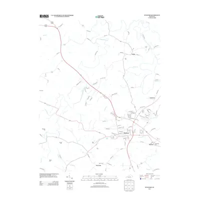
2013 Map of Stanford
USGS Topo · Published 2013About this map
Stanford serves as the central hub of this topographical study, where the convergence of major regional routes meets the waters of Saint Asaph Cr. The surrounding landscape is defined by a network of smaller communities and named heights, including Rowland, Needmore Hill, and Boneyville to the south. Historically significant water sources like Buffalo Spring are documented alongside the meandering paths of Hanging Fork Cr and the Dix River, which carves through the northern portion of the quadrangle. The map captures the settlement patterns of central Kentucky in the early 21st century, illustrating how established locales like Hubble and Logantown integrate with rural landmarks such as Givens Depot. This record is particularly useful for identifying the specific street layouts and family-named roads that connect these scattered residential pockets to the primary corridor of US Highway 150.
Find a feature on this map
114 named features on this map. Tap any name to fly to it.
Don’t see what you’re looking for? This feature index may not catch every label — zoom into the map to look around manually.
Map Details
Editions of this 2013 Stanford Map
This is the sole edition of this map. No revisions or reprints were ever made.
Other maps of this area

1905 · Harrodsburg
USGS Topo · 1:125,000

1950 · Bryantsville
USGS Topo · 1:24,000

1952 · Halls Gap
USGS Topo · 1:24,000

1952 · Crab Orchard
USGS Topo · 1:24,000

1952 · Buckeye
USGS Topo · 1:24,000

1952 · Hustonville
USGS Topo · 1:24,000

1952 · Danville
USGS Topo · 1:24,000

1952 · Lancaster
USGS Topo · 1:24,000

1952 · Bryantsville
USGS Topo · 1:24,000

1952 · Stanford
USGS Topo · 1:24,000