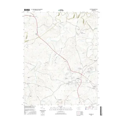
2016 Map of Stanford
USGS Topo · Published 2016About this map
The Dix River and Hanging Fork Creek drainage systems define the landscape of this Central Kentucky region, where the historical Wilderness Trl and Lincoln Trl intersect modern infrastructure. This 2016 survey captures the county seat of Stanford as a established hub, surrounded by smaller communities such as Rowland, Hubble, and Boneyville. The map is particularly useful for genealogical research, documenting numerous burial grounds including the Buffalo Spring Cem and the smaller Sutton Cem.
Find a feature on this map
97 named features on this map. Tap any name to fly to it.
Don’t see what you’re looking for? This feature index may not catch every label — zoom into the map to look around manually.
Map Details
Editions of this 2016 Stanford Map
This is the sole edition of this map. No revisions or reprints were ever made.
Other maps of this area

1905 · Harrodsburg
USGS Topo · 1:125,000

1950 · Bryantsville
USGS Topo · 1:24,000

1952 · Halls Gap
USGS Topo · 1:24,000

1952 · Crab Orchard
USGS Topo · 1:24,000

1952 · Buckeye
USGS Topo · 1:24,000

1952 · Hustonville
USGS Topo · 1:24,000

1952 · Danville
USGS Topo · 1:24,000

1952 · Lancaster
USGS Topo · 1:24,000

1952 · Bryantsville
USGS Topo · 1:24,000

1952 · Stanford
USGS Topo · 1:24,000