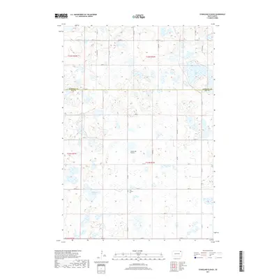
2017 Map of Stangland Slough
USGS Topo · Published 2017About this map
The Coteau des Prairies plateau defines this section of northeastern South Dakota, where a complex network of wetlands and small lakes dominates the landscape. Located along the boundary of Marshall Co and Day Co, the area is characterized by the namesake Stangland Slough and Opitz Lake. This 2017 survey reveals a rural region structured by the Public Land Survey System, with roads like 128th St and Co Rd 19 following section lines through the glacial terrain. A key landmark for local genealogists is the Fron Lutheran Cem, situated in the southern portion of the map. The map illustrates how human transit, such as Co Hwy 16, adapts to the natural distribution of water and depression features across the high prairie, documenting a sparsely populated agricultural environment in the early 21st century.
Find a feature on this map
33 named features on this map. Tap any name to fly to it.
Don’t see what you’re looking for? This feature index may not catch every label — zoom into the map to look around manually.
Map Details
Editions of this 2017 Stangland Slough Map
This is the sole edition of this map. No revisions or reprints were ever made.
Other maps of this area

1953 · Milbank
USGS Topo · 1:250,000

1958 · Milbank
USGS Topo · 1:250,000

1958 · Britton 4 NW
USGS Topo · 1:24,000

1958 · Britton 4 SW
USGS Topo · 1:24,000

1970 · Eden
USGS Topo · 1:24,000

1970 · Britton 4 NE
USGS Topo · 1:24,000

1970 · Lake City
USGS Topo · 1:24,000

1970 · Britton 4 SE
USGS Topo · 1:24,000

1970 · Roslyn
USGS Topo · 1:24,000

1973 · Lynn Lake
USGS Topo · 1:24,000