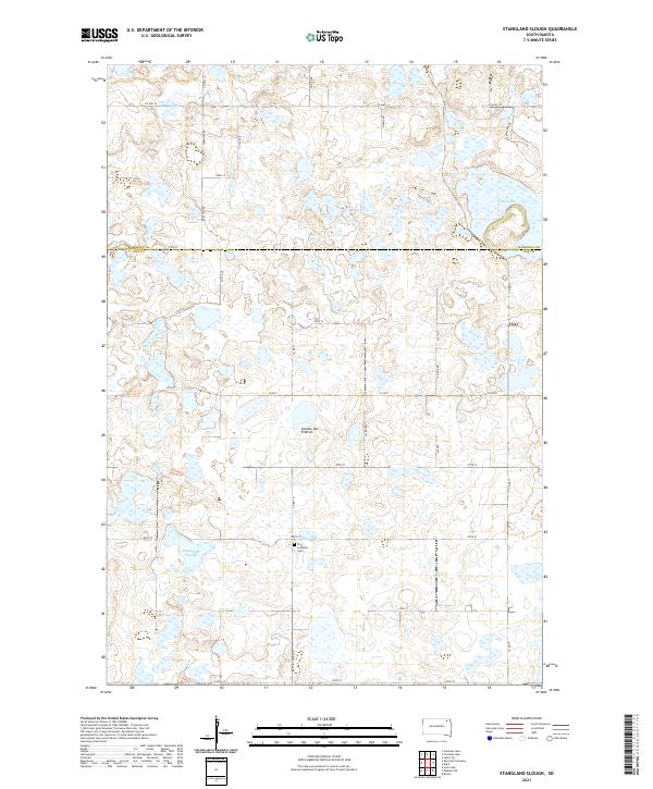
2021 Map of Stangland Slough
USGS Topo · Published 2021About this map
Coteau des Prairies provides a distinct geological backdrop for this agricultural and wetland region spanning the boundary of Marshall and Day counties. The landscape is defined by the glacial depressions typical of this upland plateau, most notably the wide expanse of Stangland Slough and the waters of Opitz Lake. These water bodies and smaller marshlands are interspersed with a section-line grid of roads, including Rose Hill Rd and Alden Taler Rd, reflecting the enduring township-and-range settlement pattern of South Dakota. Near the center of the southern half, the Fron Lutheran Cem serves as a significant genealogical marker for local families, standing as a quiet landmark amidst the surrounding fields and wetlands that characterize the township of T124N R56W.
Find a feature on this map
32 named features on this map. Tap any name to fly to it.
Don’t see what you’re looking for? This feature index may not catch every label — zoom into the map to look around manually.
Map Details
Editions of this 2021 Stangland Slough Map
This is the sole edition of this map. No revisions or reprints were ever made.
Other maps of this area

1953 · Milbank
USGS Topo · 1:250,000

1958 · Milbank
USGS Topo · 1:250,000

1958 · Britton 4 NW
USGS Topo · 1:24,000

1958 · Britton 4 SW
USGS Topo · 1:24,000

1970 · Eden
USGS Topo · 1:24,000

1970 · Britton 4 NE
USGS Topo · 1:24,000

1970 · Lake City
USGS Topo · 1:24,000

1970 · Britton 4 SE
USGS Topo · 1:24,000

1970 · Roslyn
USGS Topo · 1:24,000

1973 · Lynn Lake
USGS Topo · 1:24,000