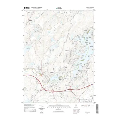
2014 Map of Stanhope
USGS Topo · Published 2014About this map
The Musconetcong River carves a natural border between Sussex and Morris counties, anchoring a region defined by its complex waterway network and historical transit corridors. Concentrated development centers on Stanhope and Netcong, where the Stanhope Union Cem and a dense grid of streets suggest the long-standing community centers of the southern Musconetcong valley. To the north, the terrain transitions into the Sparta Mountains, featuring a series of smaller highland lakes such as Lake Lackawanna and Wright Pond. Significant residential clusters like Hopatcong Hills and Shore Hills border the southwestern reaches of Lake Hopatcong, while the Ninety Five Mile Tree Lookout Tower stands as a notable landmark to the west. This mapping shows the modern infrastructure of Ledgewood and Shippenport alongside preserved natural features like Floating Island and the meandering Wills Brook.
Find a feature on this map
259 named features on this map. Tap any name to fly to it.
Don’t see what you’re looking for? This feature index may not catch every label — zoom into the map to look around manually.
Map Details
Editions of this 2014 Stanhope Map
This is the sole edition of this map. No revisions or reprints were ever made.
Other maps of this area

1888 · Franklin
USGS Topo · 1:62,500

1888 · Hackettstown
USGS Topo · 1:62,500

1888 · Lake Hopatcong
USGS Topo · 1:62,500

1891 · Wallpack
USGS Topo · 1:62,500

1893 · Wallpack
USGS Topo · 1:62,500

1894 · Hackettstown
USGS Topo · 1:62,500

1894 · Lake Hopatcong
USGS Topo · 1:62,500

1894 · Franklin
USGS Topo · 1:62,500

1897 · Franklin
USGS Topo · 1:62,500

1898 · Lake Hopatcong
USGS Topo · 1:62,500