2022 Map of Stanley
USGS Topo · Published 2022About this map
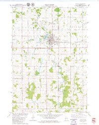
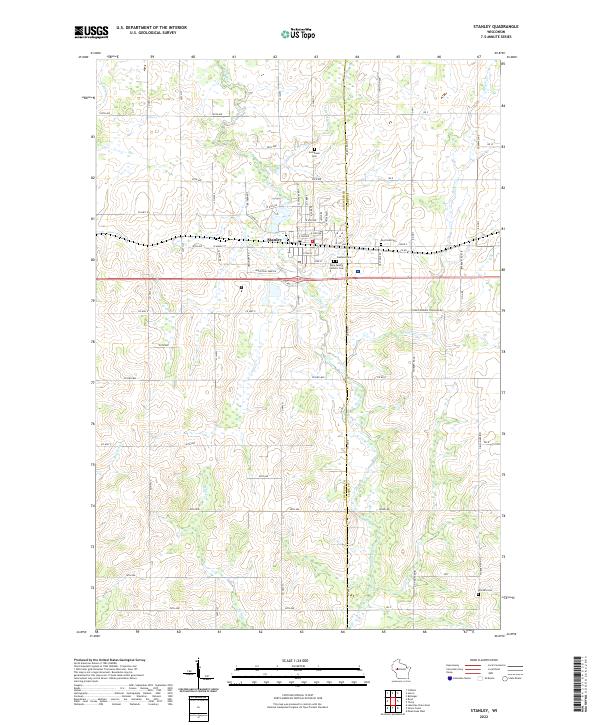
Stanley serves as the central hub of this survey, where the grid of the town center meets the surrounding agricultural landscape of Chippewa County and Clark County. The area is characterized by a dense network of country roads, including Co Hwy H and Co Hwy X, which connect numerous rural properties and local landmarks. Genealogists will find a high concentration of burial sites, with five distinct cemeteries including Evergreen Cem, Oakland Cem, and Worden Cem preserved here.
Find a feature on this map
78 named features on this map. Tap any name to fly to it.
Don’t see what you’re looking for? This feature index may not catch every label — zoom into the map to look around manually.
Map Details
Editions of this 2022 Stanley Map
This is the sole edition of this map. No revisions or reprints were ever made.
Historical Maps of Thorp Through Time
3 maps found