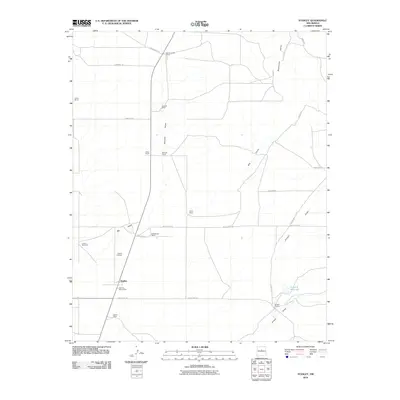
2010 Map of Stanley
USGS Topo · Published 2010About this map
Stanley serves as the primary focal point of this Santa Fe County ranching landscape, anchored by the Stanley Post Office and the nearby Stanley Cemetery. The area is defined by a sparse network of ranching homesteads and water management features essential to high-desert life. Named properties such as the Bill Kamradt Ranch, Fronabarger Ranch, and Kinsell Ranch reflect a pattern of large-scale land use connected by a system of rural routes including White Lakes Rd and Simmons Rd.
Find a feature on this map
28 named features on this map. Tap any name to fly to it.
Don’t see what you’re looking for? This feature index may not catch every label — zoom into the map to look around manually.
Map Details
Editions of this 2010 Stanley Map
This is the sole edition of this map. No revisions or reprints were ever made.
Other maps of this area

1892 · San Pedro
USGS Topo · 1:125,000

1894 · Lamy
USGS Topo · 1:125,000

1954 · Santa Fe
USGS Topo · 1:250,000

1956 · Edgewood
USGS Topo · 1:62,500

1958 · Santa Fe
USGS Topo · 1:250,000

1958 · Albuquerque
USGS Topo · 1:250,000

1960 · Stanley
USGS Topo · 1:62,500

1961 · Madrid
USGS Topo · 1:62,500

1962 · Albuquerque
USGS Topo · 1:250,000
1963 · Albuquerque
USGS Topo · 1:250,000